Mapping People, Parks, and Open Space
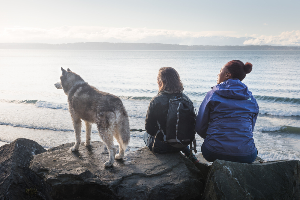
Who has access to the outdoors and who does not?
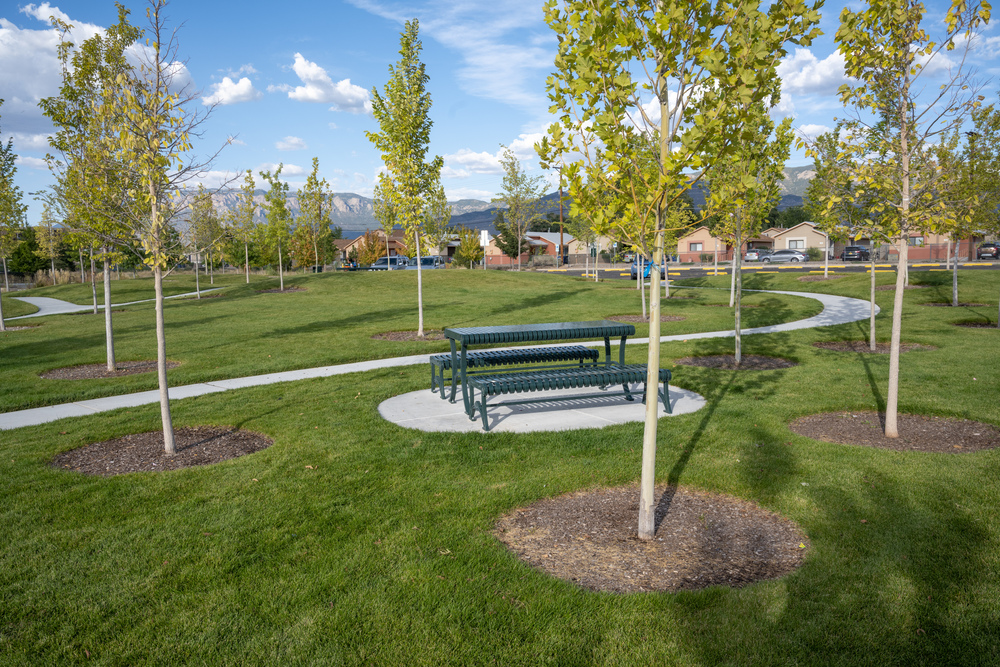
Across the United States, there are some 3.8 million square miles of public parks and open space. From vast national forests to neighborhood pocket parks, we have an incredible diversity of parks and open spaces. But these public amenities are not evenly distributed. People do not have equal access to the benefits that come from time spent outdoors. This research project maps where policies can be applied to improve equitable access to the outdoors.
This research project starts in six states: Arizona, California, Montana, New Mexico, Washington, and Georgia and will expand nationwide. The project—a collaboration between the Institute of the Environment and Sustainability at UCLA and GreenInfo Network, supported by The Wilderness Society and Resources Legacy Fund—provides a new way to look at access to the outdoors, using detailed data and analysis to show where three specific types of policy interventions can help make access to nature more equitable.
- Build new neighborhood parks
- Improve infrastructure and programming
- Increase public transportation connectivity
This project sheds light on the public access objectives of 30x30 conservation goals nationwide. Habitat conservation is another crucial 30x30 goal. Our research does not currently incorporate those goals here, although future work could do so.
Pilot States
Create a free account for access
This website provides free access to detailed web maps and statistics to anyone who signs up with their email. We will not use your email for any marketing purposes, though we may reach out to find out more about how useful you are finding the data and for what purposes. Before using this data, be sure to read our methods and definitions, which include some caveats about the data.
Check out our guide and tour for first time users
We’ve created a guide and short video tour for first time users.
Learn more about how to use our visitorsheds
This project maps the “visitorshed” of regional parks, open spaces, and public lands. This is the catchment area that includes everyone within driving distance of each of these parks, open spaces, and public lands. We use the average distance that the National Household Travel Survey finds people will drive for a social or recreational trip to map the road network for each visitorshed. You can explore demographic data about residents in each visitorshed to see who could benefit most from improving equitable access in each regional park, open space, and other public lands. Learn more.